





Precision Farming
Precision farming is about using sensors, satellite technology, machines and data analysis to manage agricultural land efficiently and according to the location. This means that the whole field is not cultivated in one go. This leads to some advantages for the farmer, but nature can also benefit from targeted management.
Alternative terms: Precision Farming, Sharecropping, Sharecropping, Computer-Aided Farming (CAF), Local Resource Management, Precision Agriculture.
To start with precision farming, data on the condition of the crop land and the plants must be collected on a small scale, because a field is not a homogeneous area. Only with this information is it possible to apply targeted measures to small areas of the farmland.
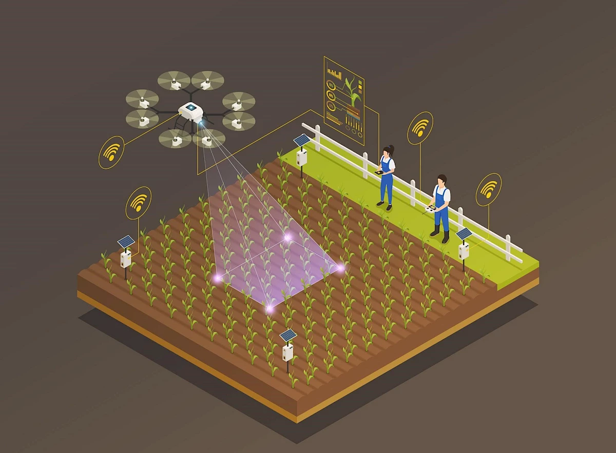 Illustration of a drone scanning a field and receiving values via a measuring station.
© Smart farm vector created by macrovector - www.freepik.com
Collecting data, but how?
Image data
There are various ways of recording soil and plant condition and other helpful information. On the one hand, these data can be generated by analysing image material. The image material can be generated by Drones or from satellites . The vegetation index NDVI (normalised density vegetation index) can be recorded on the basis of satellite image data. High-frequency satellite imaging captures images of the crop areas on a daily basis, which means that even heavily clouded areas can benefit from satellite technology. There are numerous providers on the market who offer the analysis of the imagery as a service. In addition to drones and satellites, simple smartphones can also be used, which use an app to analyse images from the smartphone camera to determine, for example, nitrogen content, leaf damage, pest infestation and much more.
Soil samples
Some data is best collected through soil sampling. Fully automated soil sampling tools make it easier to collect data.
Evaluating and using data
The data (image data, data from soil samples, weather data, etc.) is then evaluated and graphically processed or converted into recommendations for action. For example, data on weed infestation of farmland can be mapped and used to control an autonomous agricultural machine. This can then autonomously treat the areas of the field with the right amount of herbicide. The interplay between data collection, data analysis and implementation by autonomous agricultural machines promises immense benefits for the farmer and nature.
Advantages
- Detection of plant diseases, pests and nutrient deficiencies
- Maximisation of yields by determining the best time for harvesting
- Reduction of pesticides through needs-based fertilisation
- Avoidance of overfertilisation
- Recommendations for water-saving irrigation
- Yield estimation/forecast
- Field zone-specific sowing
- Early notification of potential risks
- Determination of fertility and functionality of agricultural soils
- Recording the impact of climate change
- Data-based planning for the coming season