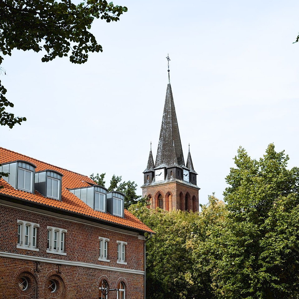
Info picnics SteverLandRoute

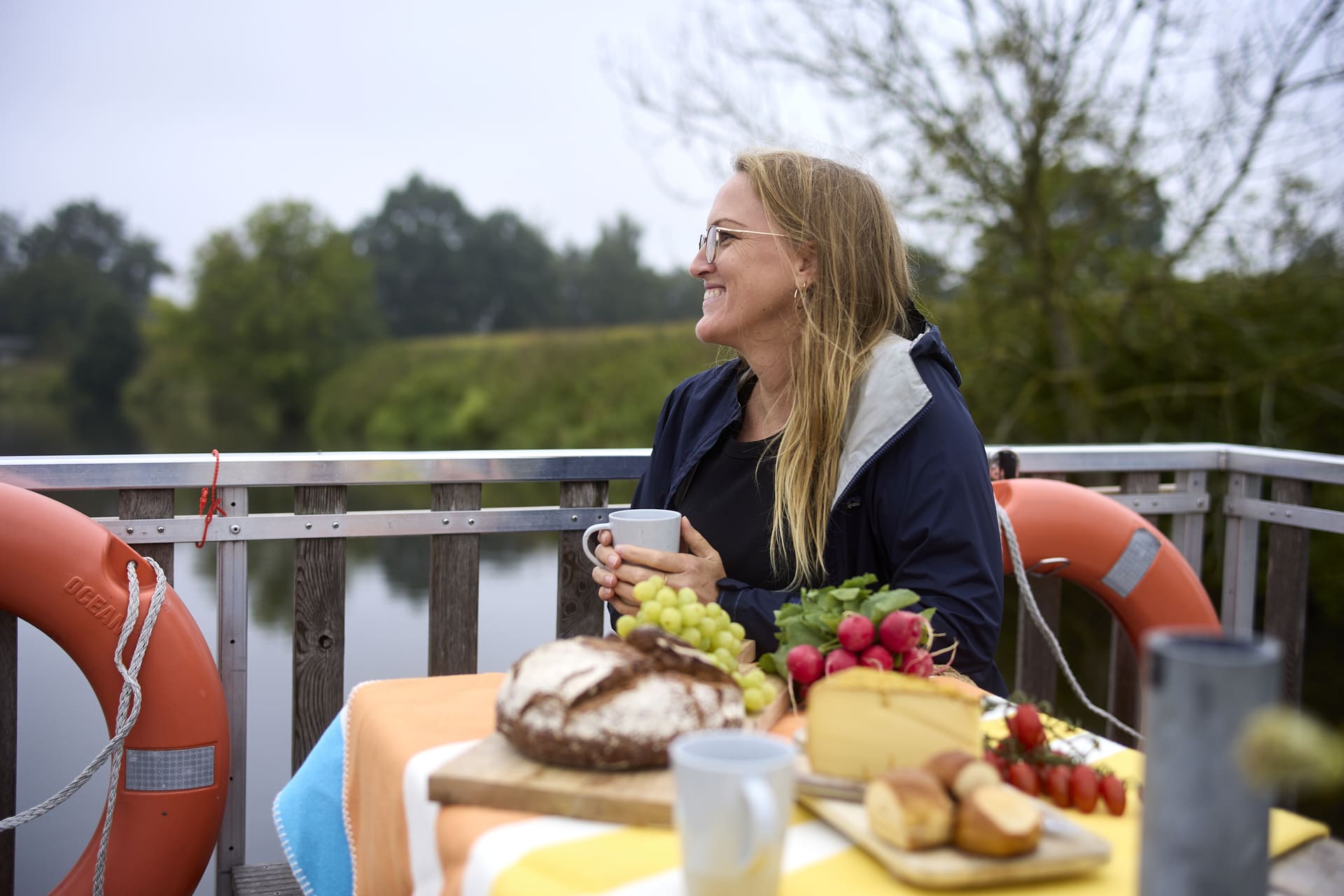
You will find a special picnic experience for young and old along the SteverLandRoute in April, May and June. You can enjoy an info picnic at each individual stage of the cycle route in Senden, Lüdinghausen, Olfen and Haltern am See. The individual info picnics are thematically identical.

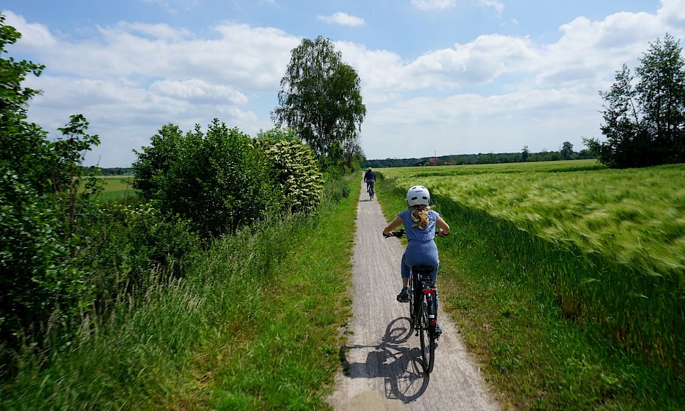
The SteverLandRoute is a cycle route along the River Stever and takes you around 70 kilometres through the Stever catchment area, from its source near Nottuln at the foot of the Baumberge mountains to its mouth in the River Lippe near Haltern am See.

You can bring your own picnic or pre-book one of the picnic restaurants along the route. You can find more information about the info points and info picnics here.

On your tour along the SteverLandRoute, you will find many other great picnic spots, for example at the Schulze Westerrath watermill or at the water playground behind Lüdinghausen Castle.

Important information: Bookings are only possible from May to June on request!

SteverLandRoute Stages

1
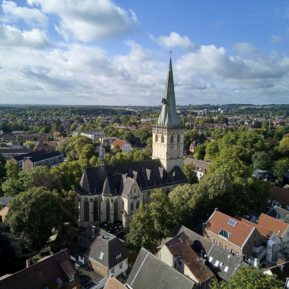
Send

Your picnic basket: Münsterland picnic box from Schloss Senden. Pre-booking is necessary: 4 days in advance.

Meeting point: Stever steps on the river Stever

Tip: Spend some time at Senden Castle, visit the Venner Moor or take a guided tour of Senden.

2
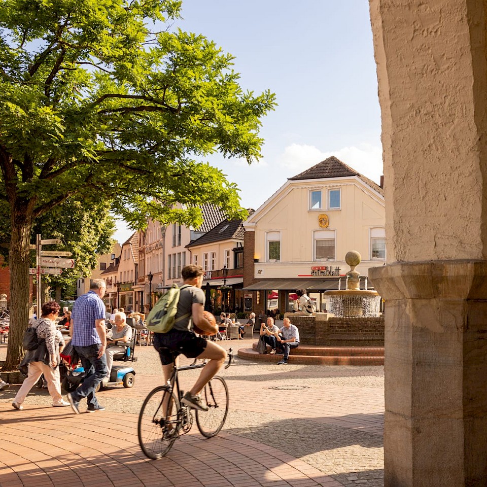
Lüdinghausen

Your picnic basket: Münsterland picnic box from the Terjung bakery. Advance booking is necessary.

Meeting place: The green classroom in the StadtLandschaft between Vischering Castle and Lüdinghausen Castle.

Tip: Drop by Kakesbeck Castle or Vischering Castle or take a tour of Lüdinghausen.

3
Olfen

Your picnic basket: "Bring your own" picnic (Bring your own picnic.)

Meeting point: Steveraue nature park information centre.

Tip: Linger at the Stever floodplains and enjoy the view of the water. Maybe you'll spot wild horses, donkeys or cattle?

4
Haltern on the lake

Your picnic basket: Münsterland picnic box from the "Jupp am See" beer garden. Advance booking is not necessary.

Meeting place: Blue Classroom.

Tip: The beautiful landscape of the Westrup Heath is always worth a detour.

Price and booking information
  • Price: 80 euros per group, partly to support the realisation of new projects along the SteverLandRoute.
  • Number of participants: from 10 participants, maximum 20 participants
  • Duration: approx. 1.5 hours
  • Dates: from May to June possible on request
  • Booking by email to sandra.dirks@naturschutzzentrum-coesfeld.de

Tip: Discovery map for children

Discovery map for children
© Steverlandroute

The discovery map for children is particularly well designed and can be found here!

With its puzzle questions and collection fields for the Stever coins, the discovery map for children complements the family excursion and turns it into an exciting observation tour. With the discovery map for children, you can get to know animals and plants along the Stever, learn exciting facts about the history of the Stever and discover a whole lot more amazing things about the little river Stever.

  • Search for fossils and answers to our riddle questions.
  • Explore the current in the Stever and the secrets around the Ternscher See.
  • Find out what the Stever has to do with our drinking water and how many different ways a water cycle can take.
  • Discover how a water mill works and what happens when the Stever overflows its banks.

The discovery map will help you!

Route between Senden and Nottuln
© Naturschutzzentrum Kreis Coesfeld e.V.

Provider

Naturschutzzentrum Kreis Coesfeld e.V. - Alter Hof Schoppmann
Am Hagenbach 11
48301 Nottuln
02502- 90 143 85

Info about the journey

By public transport

The RVM offers good connections between Münster, Senden, Lüdinghausen and Olfen with the X90/S90/S91 line, where bikes can be taken along. There are train connections on the route between Haltern am See and Appelhülsen. From Münster there are train connections to Havixbeck, Appelhülsen, Lüdinghausen and Haltern am See. Dülmen (on the return leg of the SteverLandRoute) links Haltern am See, Lüdinghausen, Selm and Appelhülsen with railway lines.

By car

There are parking spaces at all info points at a maximum distance of 500 m.

Map | SteverLandRoute

Places of interest along the Steverland Route

Properties
Types
Close Contact & Info
Close